Sub Area Plans
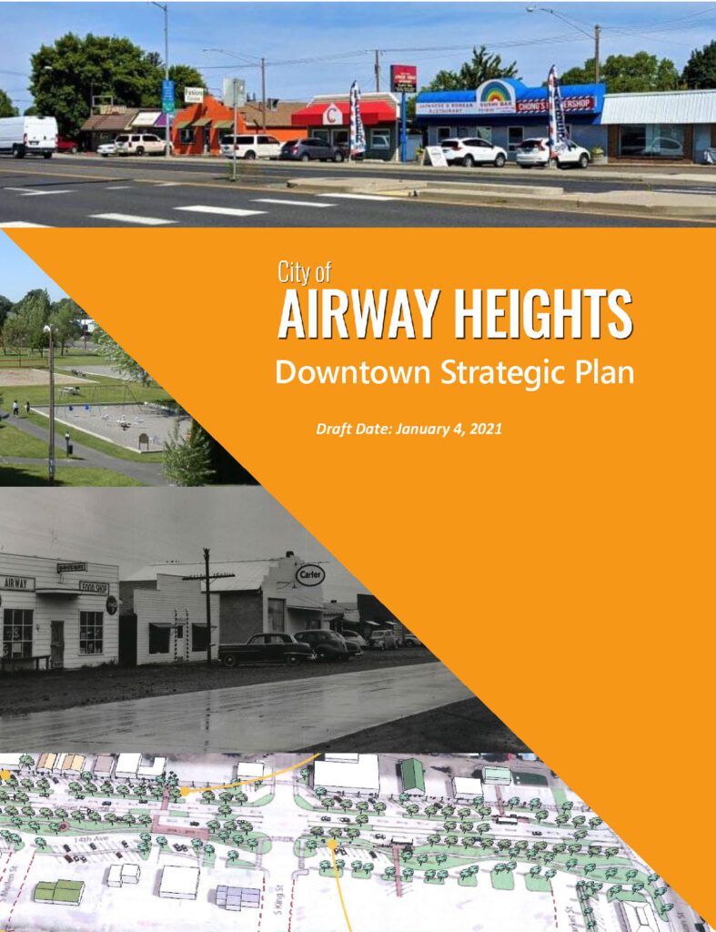
Downtown Strategic Plan
The City of Airway Heights is currently faced with opportunities and challenges regarding immediate growth and change. Airway Heights incorporated as a city in 1955 to address local housing needs relating to Galena Air Depot (now known as Fairchild Airforce Base).
Over the years the City remained a small municipality with its first major annexation occurring in January 2012, acting as a catalyst for ongoing growth and change. As the city has responded to growth along the US-2 Corridor, there has been a lack of identity and investment placed on the Central Business District (CBD) of Airway Heights.
The City is faced with growth, change, and addressing housing affordability and options. The downtown plan explores options to revitalize the downtown core, housing, and the US-2 Corridor.
Industrial Subarea Plan
In early 2017, the City of Airway Heights was granted funding from the State of Washington Community Economic Revitalization Board (CERB) for $50,000 in grant funding and approximately $20,000 in match to produce an Industrial Subarea Plan (ISA Plan) and feasibility study.
The ISA Plan and feasibility study analyzed approximately 300 acres of industrial lands on the south end of the City of Airway Heights. The study assessed the practicality of future industrial development in the area, examining existing and future needs for infrastructure and utilities in order to support future growth. The study also includes an economic analysis of the region and identified target industries best suited for the subarea, given its geographic location and proximity to a vast network of transportation options.
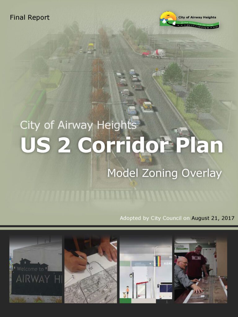
US-2 Corridor Plan
The City of Airway Heights recognizes the importance of US Highway 2 to its economic vitality and community image. This project identifies the overall vision, goals, policies and suggested design approaches for its entire length within city limits.
The plan outlines how the City’s goals and policies relate to and direct the corridor’s design. It also presents specific design guidance for the corridor’s six character
areas, (or “context areas”) based on extensive public input, stakeholder interviews and design deliberation. Finally, it presents an implementation guide, identifying specific zoning amendments and other actions the City and its partners can take to make
this plan a reality. With this document in hand, the City can engage with its partners and developers to transform the corridor into an energetic, attractive, and functional element of the community’s landscape.
This plan also builds on the City’s earlier planning and design efforts for the US-2 corridor. Despite recent attention in these efforts, the corridor today – even around the central shopping district – is much the same as it was 20 years ago.
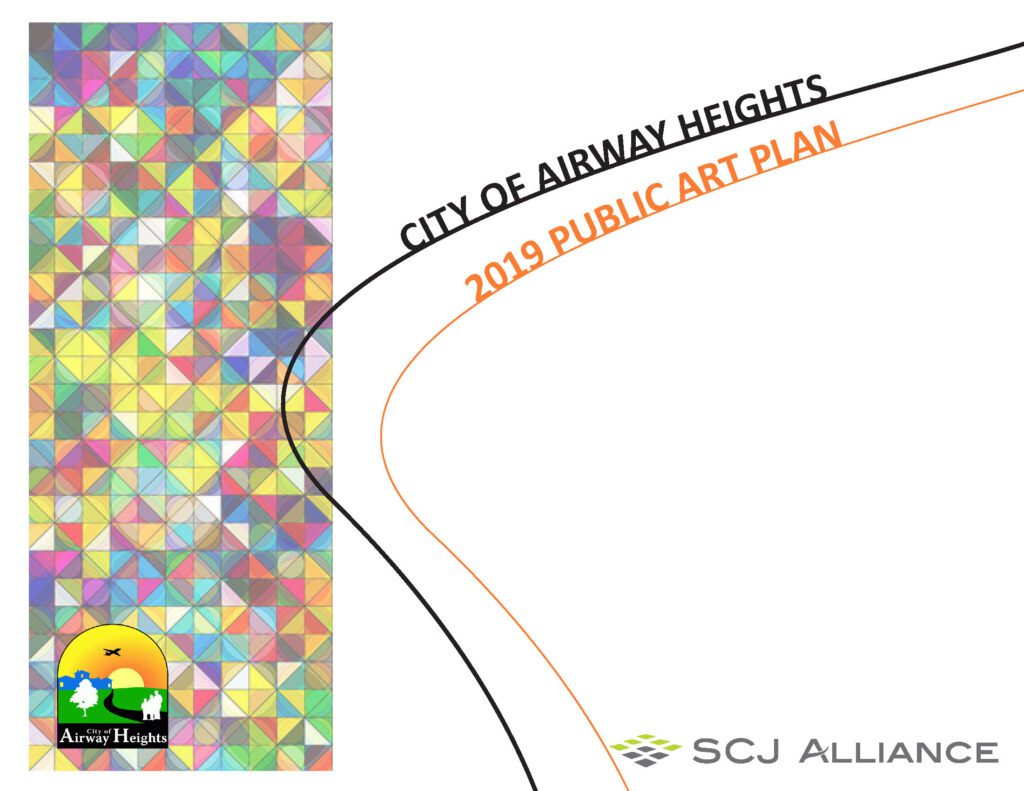
2019 Public Art Plan
The Public Art Plan is a tool for implementing an array of public art, in various mediums, and locations and will range in permanent installation to temporary demonstrations throughout the city of Airway Heights. The Art Plan provides two primary components for implementing the plan in the public realm: 1) policy development to implement a public art program and an Arts Commission and 2) an understanding of the historic culture of Airway Heights or providing a central identity, themes, and characteristics that serve as the foundation for public art installations. While public art is interpreted and expressed by the artist, it should exhibit, reflect, and incorporate the community’s ideals and perceptions.
The Art Plan lays the groundwork for recognizing the role that art can play in creating an identity for Airway Heights and enhancing the quality of life in the city. Public art can connect city government to small businesses and the larger community and it humanizes the environment by purposely breaking the large scale of the urban, developed environment into more personal and meaningful public spaces.