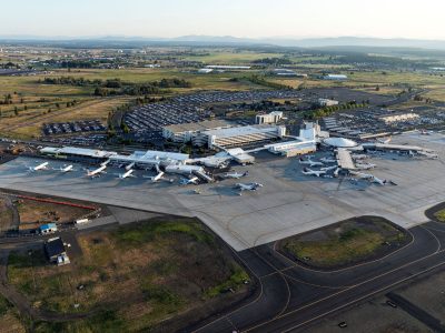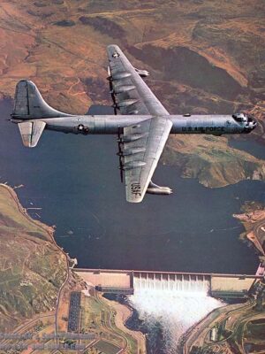
Airway Heights is surrounded by two major aviation hubs, Fairchild Air Force Base (FAFB) and Spokane International Airport. These two hubs are two of the largest employers in the Greater Spokane region and provide vital economic impacts to the area. These aviation hubs require that the surrounding land uses be compatible with the activities that take place at both sites.

“Airport Overlay Zones” are developmental overlays that surround Spokane International Airport and its future potential expansion. These areas are designated to protect the viability of the airport and protect the community around it. Five distinct zones surround the airport and it’s runways, with Airway Heights primarily being impacted by the Airport Compatibility Zone 5 (ACZ-5). Within this zone, development that generates a net density of more than 180 people per net acre is prohibited.
“Accident Potential Zones” (APZs) are developmental overlays that extend past the end of the runway at FAFB. The APZs are compiled into three different zones; the “Clear Zone”, APZ I, and the APZ II. The APZs are intended to provide land use restrictions to protect the integrity of the Fairchild Airforce Base runway. The City is primarily impacted by the APZ II zone, which is located primarily south of Highway 2 and west of Lyons Road.
Development within the City is also influenced by a set of sound contours, which reflect the primary flight paths of aircraft from FAFB. These sound contours range from 65-69 day-night average sound level (DNL), up to 85+ DNL . The purpose of these sound contours is to prevent land uses incompatible with FAFB from being established within high aircraft and loud air space travel areas.
Prohibited uses in ACZ-5 include:
Prohibited uses in all APZs include:
A complete list of prohibited uses can be found under AHMC 17.15 and AHMC 17.16

DISCLAIMER
For more detailed information, please contact the planning department at [email protected]